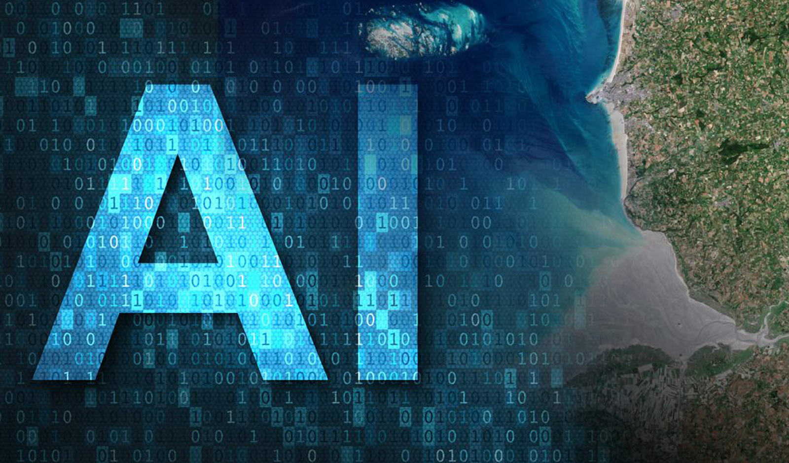
The Platform Processing and data access capabilities of a powerful and flexible platform

The Community
The users interested in offering training datasets and AI/ML models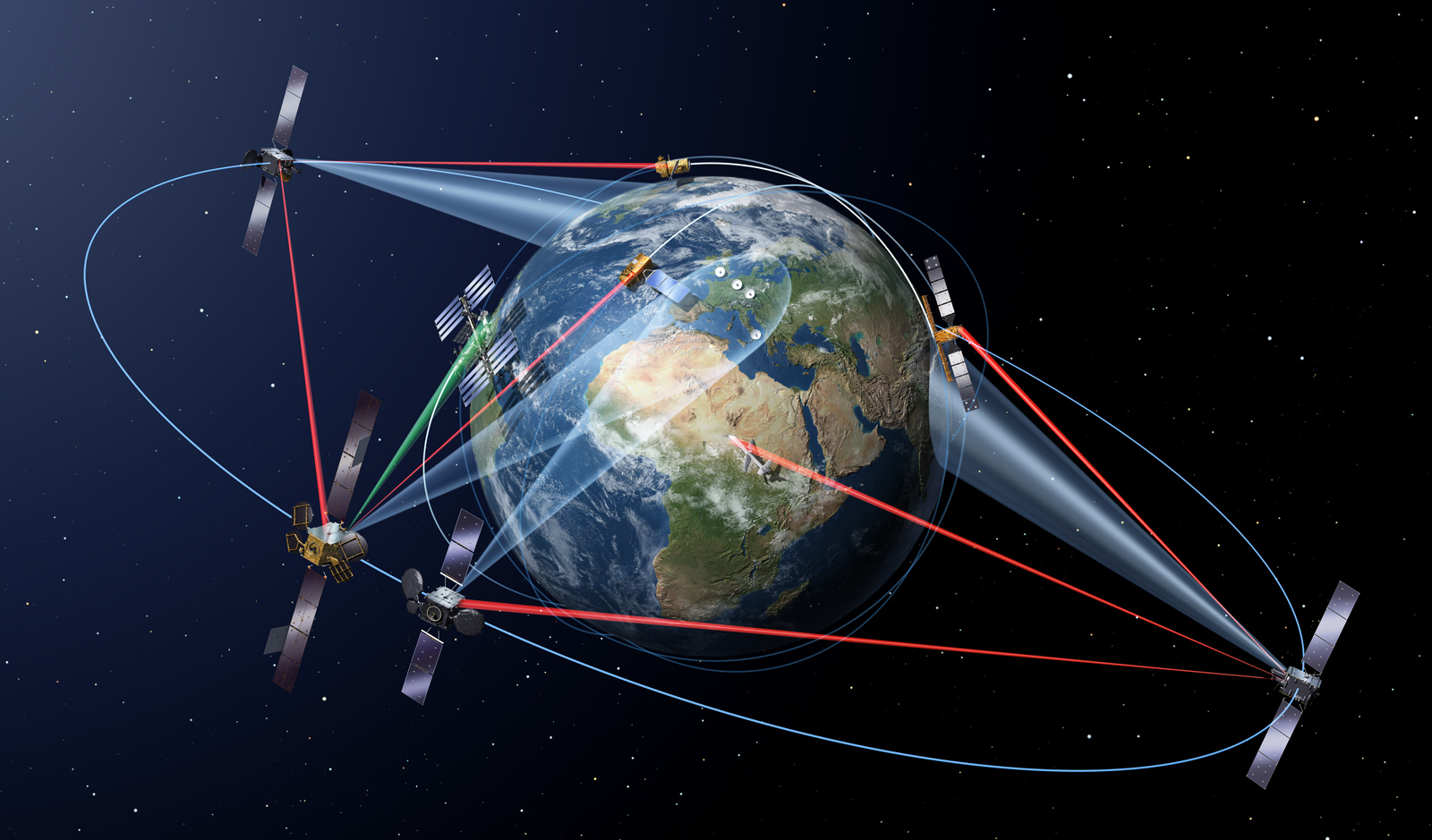
The Exploitation
The EO science and application development community looking at how to exploit these technologies with EO dataAbout
The AIOPEN Platform provides new and innovative services based on a user-friendly interface and easy-to-use tools that enable individuals, scientific community and business society, regardless of their technical expertise, to interact with and benefit from AI capabilities applied to remote sensing data and satellite images of the Earth. The platform provides visual workflows and pre-built templates that users can customize with available EO data. Users will be able to build and develop new AI models, training data sets and innovative applications without the need of coding and designing complex algorithms, for better facing the challenges of the future.
Technologies
The AIOPEN Platform combines and extends the existing platforms ASB (Automated Service Builder), EOPEN (Open Interoperable Platform for Unified Access & Analysis of EO Data) and EOEPCA (EO Exploitation Platform Common Architecture). The ASB and EOPEN technologies, developed by Space Applications Services, allow AIOPEN to import custom processes, creating workflows and executing them in a distributed environment to deliver services on user customizable dashboards. Components from EOEPCA project, led by Telespazio, are included to bring interactive development, cataloguing, and sharing capabilities. Popular open-source software is integrated to include AI capabilities required by the AI model development lifecycle such as the ability to version and store model training projects, publish available models and datasets, annotate raw data, further train models and use models to do predictions. The platform, hosted in the ONDA DIAS service owned by Serco, is capable to distribute processing tasks in remote environments.
Key Applications
The AIOPEN Platform is successfully contributing and supporting the following applications:
Land Cover Classification
AI algorithms can analyze satellite images and classify different types of land cover, such as forests, urban areas, agricultural land, water bodies, and natural reserves. Machine learning models trained on large datasets of labeled images can accurately identify and map land cover classes over large areas, providing valuable information for land management, urban planning, and environmental monitoring.
Crop Monitoring and Agriculture
AI-based analysis of satellite imagery can support agricultural practices by monitoring crop health, identifying disease outbreaks, and predicting yields. By analyzing multispectral and hyperspectral data, AI algorithms can detect vegetation indices, assess crop conditions, and provide insights for optimized resource allocation, precision agriculture, and early warning systems.
Disaster Monitoring and Response
AI can assist in disaster management by analyzing satellite images to detect and assess the impact of natural disasters such as hurricanes, wildfires, floods, and earthquakes. Machine learning models can automatically identify damaged areas, assess infrastructure integrity, and aid in the allocation of resources and emergency response planning.
Deforestation and Environmental Monitoring
AI algorithms can monitor and detect deforestation, illegal logging, and changes in vegetation cover. By analyzing time-series satellite imagery, AI can identify patterns of deforestation, map forest degradation, and provide early warnings of illegal activities, contributing to conservation efforts and sustainable land management.
Urban Growth and Infrastructure Planning
AI can analyze satellite images to monitor urban growth, assess infrastructure development, and predict population trends. Machine learning models can detect changes in urban areas over time, identify areas of urban expansion, and assist in urban planning and infrastructure development to support sustainable growth.
Water Resource Management
AI algorithms can analyze satellite imagery to monitor water resources, including lakes, rivers, and reservoirs. By detecting changes in water levels, water quality, and identifying areas of water stress, AI can support water resource management, drought monitoring, and conservation efforts.
Environmental Impact Assessment
AI can aid in assessing the environmental impact of large-scale projects such as mining, construction, or infrastructure development. By analyzing satellite images, AI algorithms can track changes in vegetation, land use, and ecosystem health, helping to evaluate and mitigate potential environmental impacts.
Air Quality Monitoring
AI can combine satellite imagery with atmospheric data to monitor air quality and detect pollution sources. By analyzing patterns and concentrations of pollutants, AI algorithms can provide real-time information on air quality, supporting public health initiatives and environmental policies.

The Platform
Showcases
The AIOPEN Platform is developed on two showcases:
Deforestation tracking
Deforestation tracking is proposed as KP Labs showcase for a Green Future. Modern environmental issues make this case a matter of high importance and relevance. The popularity of HSI and MSI datasets like Sentinel-2 and available literature makes this case suitable for implementation within the AI platform. Sharing a deforestation-tracking model through an online service platform would bring deep learning solutions closer to solving real-life problems related to environmental issues.

Urban Change Detection
Urban Change Detection is the showcase proposed by IT4I that uses earth observation data and Deep Neural Networks (DNNs) to detect (urban) related changes on the earth’s surface to construct a digital twin of Earth’s (urban) changes. Detection of how urban areas, cities, infrastructure, and urban sprawl change over time help to understand the dynamics of how the environment is impacted, to identify new (illegal) settlements, and to extrapolate trends for future planning.

News
The AIOPEN Platform contributed to the Big Data
from Space (BiDS) 2023 conference (6-9 November 2023 in Vienna, Austria)
with a poster titled “AIOPEN – Platform extensions with AI capabilities”.
The relevant paper can be downloaded from the Event Proceedings.


